Applied Geophysics
We apply a wide range of geophysical methods for engineering, geological and hydrogeological tasks
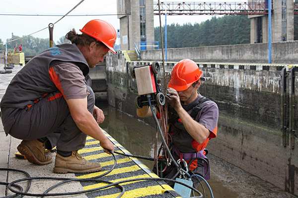
Beside standard site investigation methods, we apply a wide range of geophysical methods during engineering, geological and hydrogeological investigation. We extrapolate the obtained data for more accurate interpretation of the explored environment. The indisputable advantage of geophysical methods is their speed, mobility, non-destructivity, non-environment burden and their ability to&nbso;significantly optimize the investigations. The first work of this kind was carried out by SG Geotechnika in 1946. Since then we have been using geoelectric, seismic, georadar, geomagnetic, thermometric, TV probe, and special underground methods.
Portfolio our geophysical methods

Hydrogeology
Geophysical measuring for location, development and protection of water resources
- Course of saturated and faulted zones
- Thickness of quaternary sediments
- Thickness and area of sandy aquifers in clay sediments
- Groundwater depth and flow direction
- Efficiency of waterproof measures in surface, underground objects and pipeline cistern

Engineering geology and geotechnical engineering
Geophysical measuring for line buildings, underground buildings, dams, and foundations soils investigation, or slope stability investigation
- Geological characteristic of the territory
- Physical and mechanical properties of foundation soils
- Inspection of compaction fillings
- Slope stability
- Estimation of natural arch of caverns and galleries, stability of building hole walls, documentation galleries and feeders

Environment
Geophysical measuring in scope of geochemical investigation of contamination rate and size, rock environment clearance, or borehole positioning
- Thickness and character of sand sediments
- Depth of weathering area and relief rocks
- Groundwater flow direction
- Soil contamination area
- Water aggressivity, corrodibility, presence of erratic flows
- Waterproof measure efficiency of surface and underground objects, borehole and pipeline cistern tightness

Construction, investigation of mineral raw material deposits, archeology
We identify structure and tectonic properties, determination the elastic properties of rocks, strength and rippability of rocks, direction of layers and slope determination in boreholes, diagnoses of building constructions and line buildings. We monitor and determine the degree of environmental corrosion and we also perform pyrotechnical investigations, radon index measurements for planning permission and building acceptance certificates.